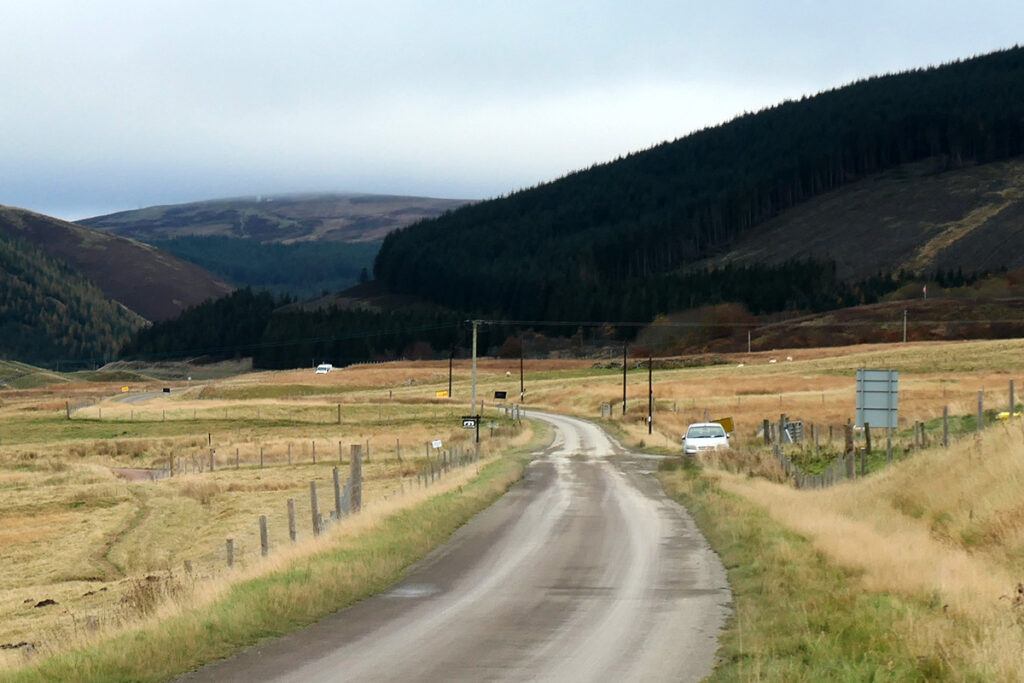
Normangill has been described as one of Scotland’s best examples of a henge. The oval bank and internal ditch measures 60m at its largest part, with two diametrically opposed entrances that are typical of a “type 2 henge”. The monument overlooks the Camps Water and commands views along the broad valley in either direction. Today the valley seems an empty treeless place, home only to sheep; however there’s evidence that in prehistoric times a considerable population lived and cultivated crops in these sheltered glens. The henge must have had a very special spiritual significance to these prehistoric people, but we can only guess at rituals and beliefs that were associated with it
It’s a little surprising that Normangill henge was not marked on early editions of OS maps as their surveyors were usually enthusiastic about recording earthworks, battle sites and antiquities of all sorts. Even after 4,000 years of Scottish weather, the banks of the henge still rise a couple of feet above the level of the ditch, and its circular form is clearly apparent when standing in the middle of the monument. From a distance however it’s largely obscured among the heather and rushes – so perhaps the early surveyors can be excused.

Panoramic view, from within the henge.
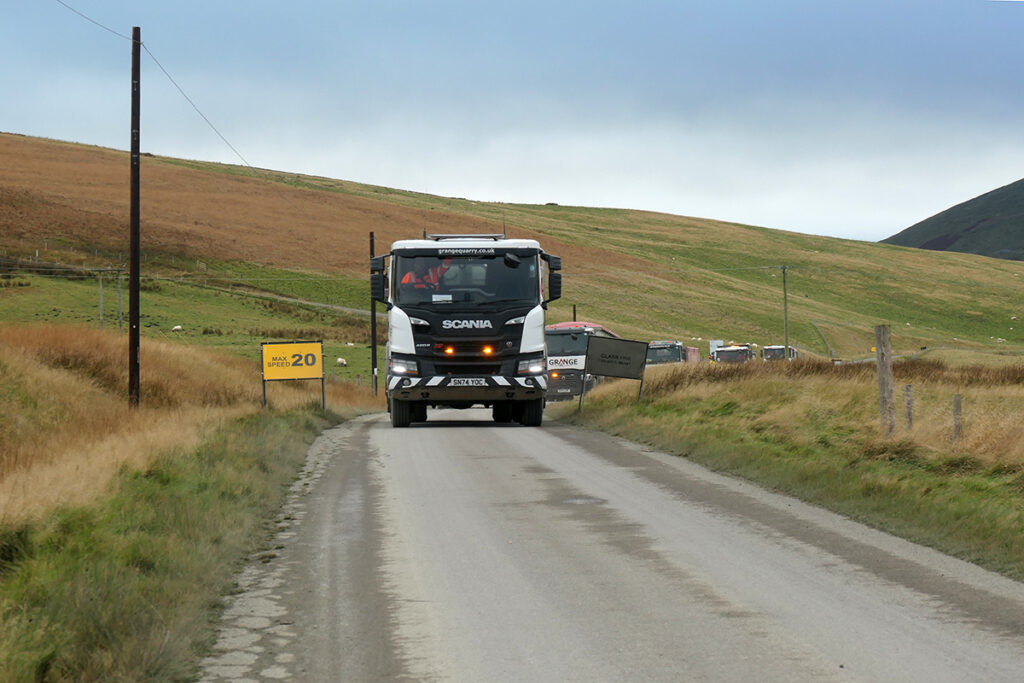
It’s also unfortunate that this important monument was not recognised when a narrow gauge railway was laid across the centre of the henge, slicing through the earthworks. The line was built in about 1917 to serve construction of the Camps Reservoir, and was subsequently converted into the road.
It was only when aerial photographs were studied that the henge was officially “discovered” and, in 1973, it was designated as a scheduled monument. Although the damage caused by building the railway is most unfortunate, it now provides the novel convenience of being able to drive through the centre of a bronze age monument, or to pull over, explore, and wonder.
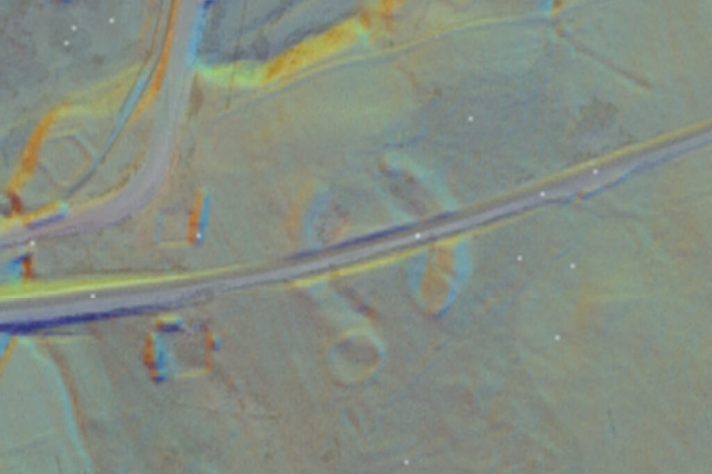
LIDAR image, combined with an aerial view clearly shows the two c-shaped banks of the henge, cut through by the railway/road. Courtesy; National Library of Scotland
Whatever its original purpose, Normangill Henge is now a quiet and lonely place, As you gaze wistfully across this ancient earthworks, perhaps musing on the enormity of time and the brevity of life, you might become aware of a strange, earthy, fungal scent, During autumn the curved grassy banks of the henge become highlighted by tiny points of red and orange which on closer inspection are revealed to be rather strange and wonderful fungi. The conical cap of the Scarlet Waxcap fungus is bright red when it first pushes up through the soil, but becomes more yellow as it opens and then folds back to reveal its gills. At Normangill this colourful fungus only thrives on the well-drained sandy soil of the banks; and seems absent from mossy wet parts of the ditch, and the surrounding landscape.
Waxcaps are indicators of ancient grasslands, and are usually found in lawns and meadows that are poor in nutrients and have laid undisturbed for centuries. Presumably the waxcaps have been providing a little autumn colour at Normangill for several millennia.
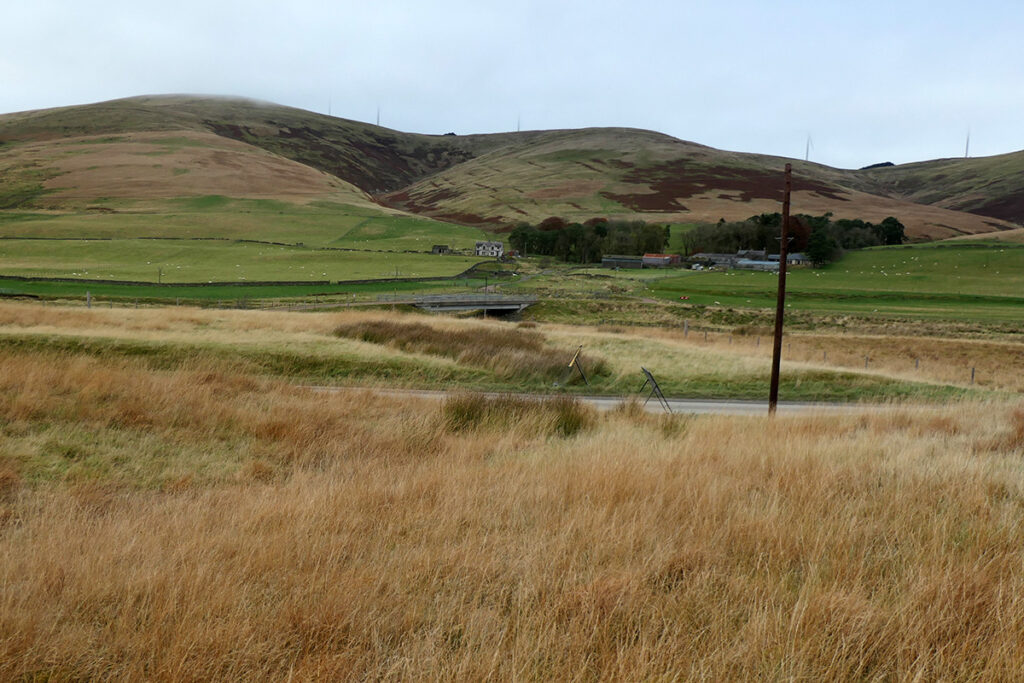
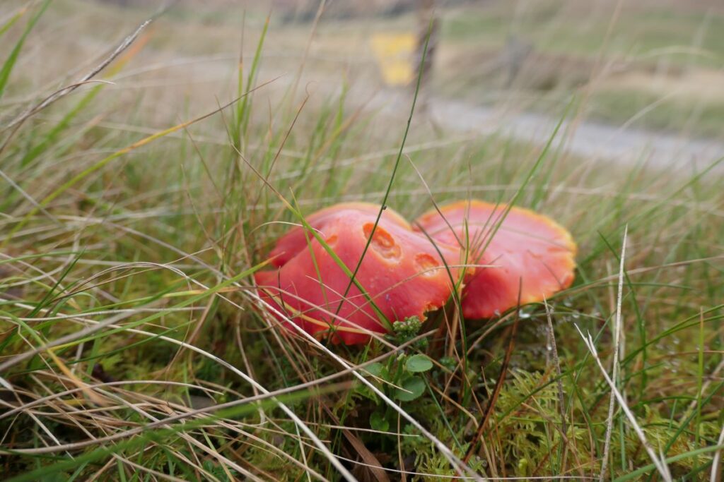
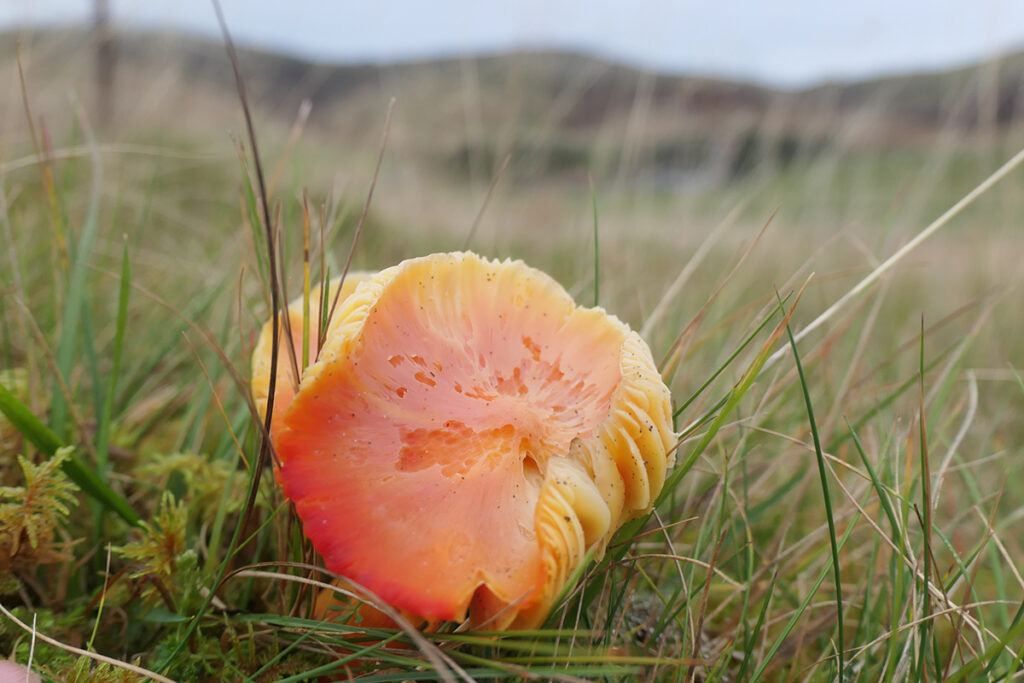
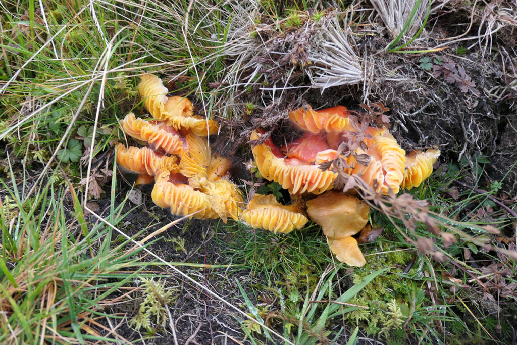
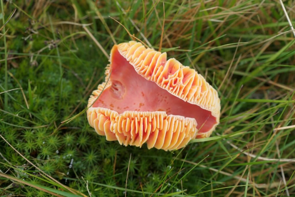
Waxcap fungi among the grass of the henge bank, close to where it is cut by the road
Robin Chesters; 14th November 2024
Unless otherwise stated, all text, images, and other media content are protected under copyright. If you wish to share any content featured on Clydesdale's Heritage, please get in touch to request permission.

