![]()
Welcome to Clydesdale's Heritage, a project aimed at encouraging all people to take an active interest in the heritage and history of the Clydesdale area.
This website is one of several initiatives from Lanark and District Archaeology Society (LADAS) to encourage engagement with the history of the region.
The project includes lecture programmes, fieldwalks, cataloguing artefacts, inspiring school pupils during talks and presentations, and working with like-minded organisations – with the end goal being to record and preserve the heritage of Clydesdale.
Most popular this month
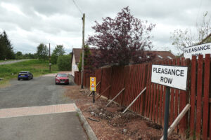
Wilsontown’s Pleasance Row
articleAccording to the Oxford English dictionary, a “pleasance” is a secluded part of a garden often laid out with trees, where one might promenade at one’s leisure. It’s hard to…
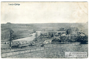
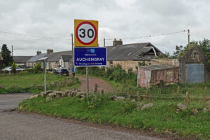
The Deathbed Marriage – an Auchengray Tragedy
articleThe Caledonian Railway opened their Wilsontown branch in 1860, providing easy transport for the rich reserves of gas coal and other minerals found in the area. From a terminus near…
Making and Mending at Auchengray.
articleIn a recent post we shared an image of local lads posing proudly with their stock-car outside the “garage” at Auchengray. Although the snap was taken not so long ago,…
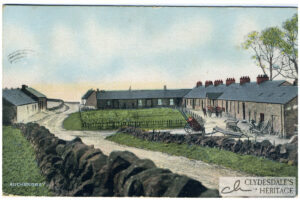
Auchengray
postcardColoured printed postcard. Albany series, published by W. Inglis, Post Office, Auchengray, postmarked 20th July 1907. CR25.0016
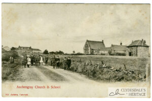
Auchengray Church & School
postcardPrinted postcard, published by Jackson, Carnwath, not postally used. CH25.0015
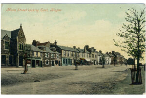
Main Street looking East, Biggar
postcardColoured printed postcard, Valentine’s Series, postmarked 24th May 1907. CH25.0082
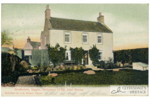
Strathview, Biggar
postcardColoured printed postcard, published by J.H. Wilson, Biggar, postmarked 27th July 1906. CH25.0081
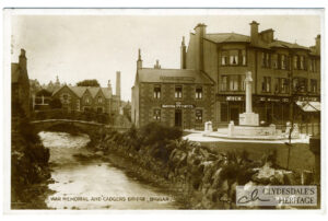
War Memorial, Biggar
postcardPrinted postcard published by T. Jackson, Biggar, postmark undecipherable. CH25.0080
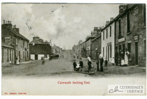
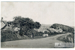
Carnwath, looking East
postcardPrinted postcard, published by Jackson, Carnwath, postmarked 25th August 1906. CH25.0079