
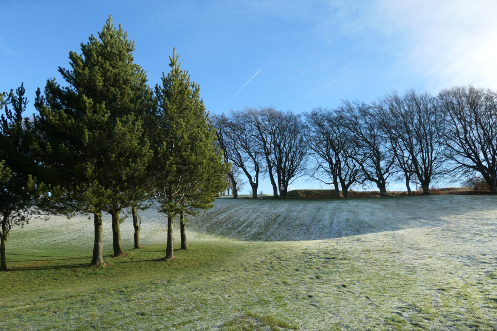
Douglas parish
Townhead, Douglas
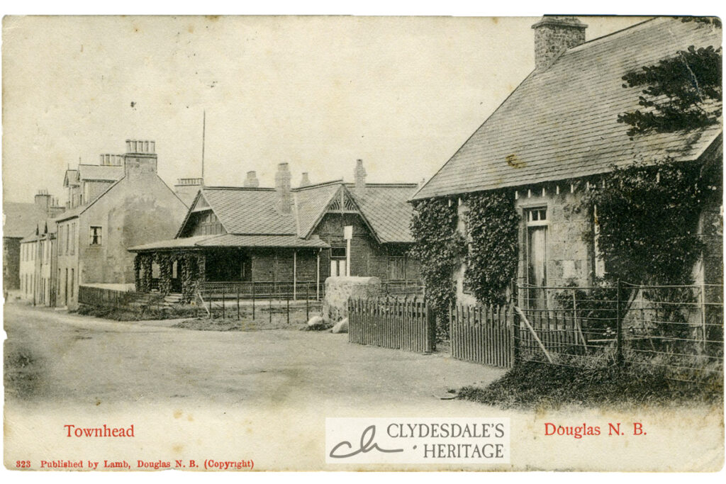
Printed postcard published by Lamb, Douglas No. 823. Postmarked 7th January 1912. CH25.0069
Read MoreThe Extinction of the Public Convenience
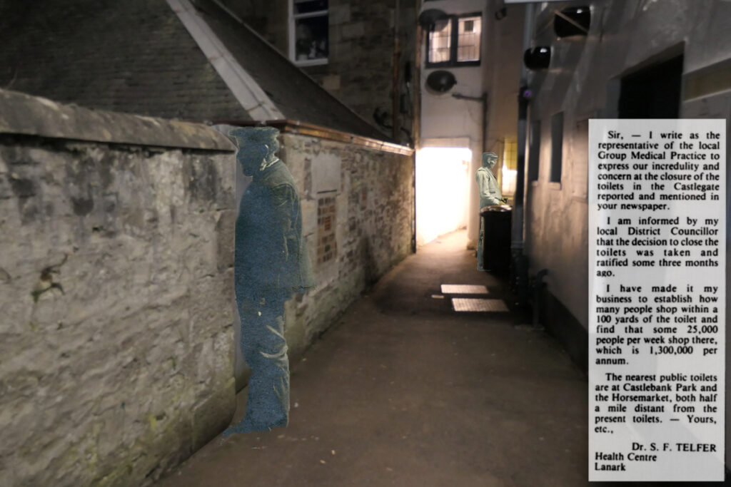
Thirty years ago Clydesdale boasted over twenty public toilets, conveniently sited in most towns, villages, and public parks. Not all were the most pleasant of facilities; vandalism, poor maintenance, and…
Read MoreCarmacoup and the Country Wool Trade
The valley of the Douglas Water narrows after passing through Glespin; and the road west clings to the hillside as it winds towards the county boundary and onward to Muirkirk,…
Read MoreThe Platelayers’ Well in Happendon Wood
Peter Carmichael (1807-1897) was stationmaster at Douglas for nearly twenty years, having previously been in charge of various other stations, including Carluke and Garnkirk. Although Douglas was not the busiest…
Read MoreWindrow Woods, the Fog House, and the Woman’s Grave
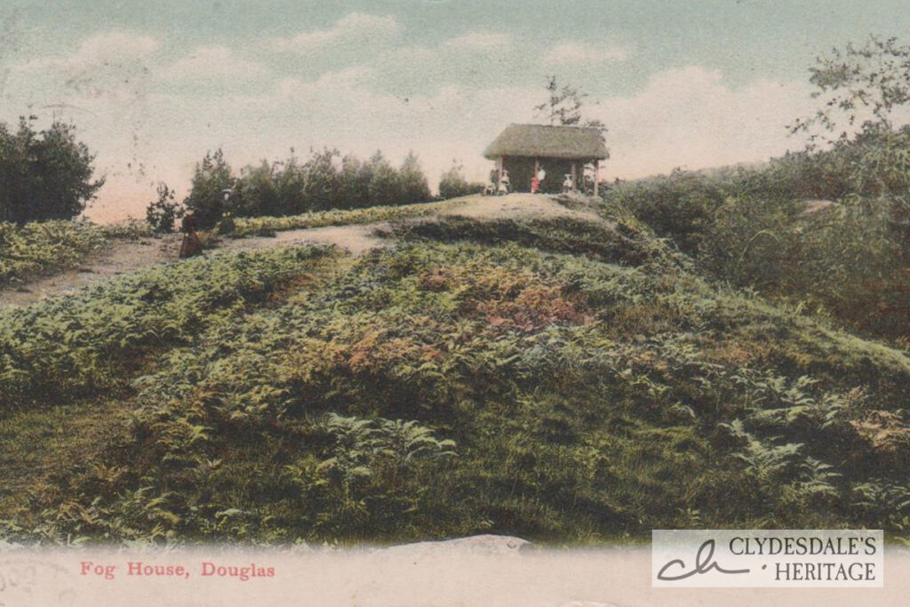
A fug-hoose was a place for quiet wonder and contemplation, Seated amongst the ferns, moss and heather, those with time for leisure might enjoy fine vistas or other beauties of…
Read MoreRigside Cannel and the Black Douglas Pit

Cannel is an unusual form of coal that burns with a brilliant flame if thrown into an open fire; lighting up a room as if by candlelight. Cannel was in…
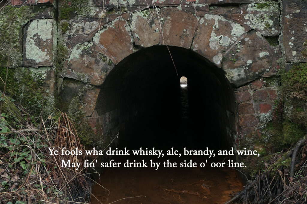
Read MoreExtra Holes at Douglas Water
At one time most of the coal used in the upper parishes of Clydesdale, and as far south as Moffat, was carted from pits in Rigside and Ponfeigh. Coal had…
Read MoreParish of Douglas
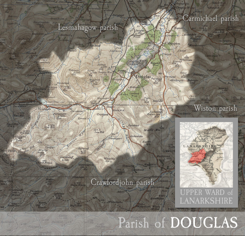
including the town of Douglas and the village of Glespin and part of Rigside. MAP & INDEX of all parishes. DOUGLAS, river, town, castle, and parish in upper ward of…
Read MoreAngus Statue
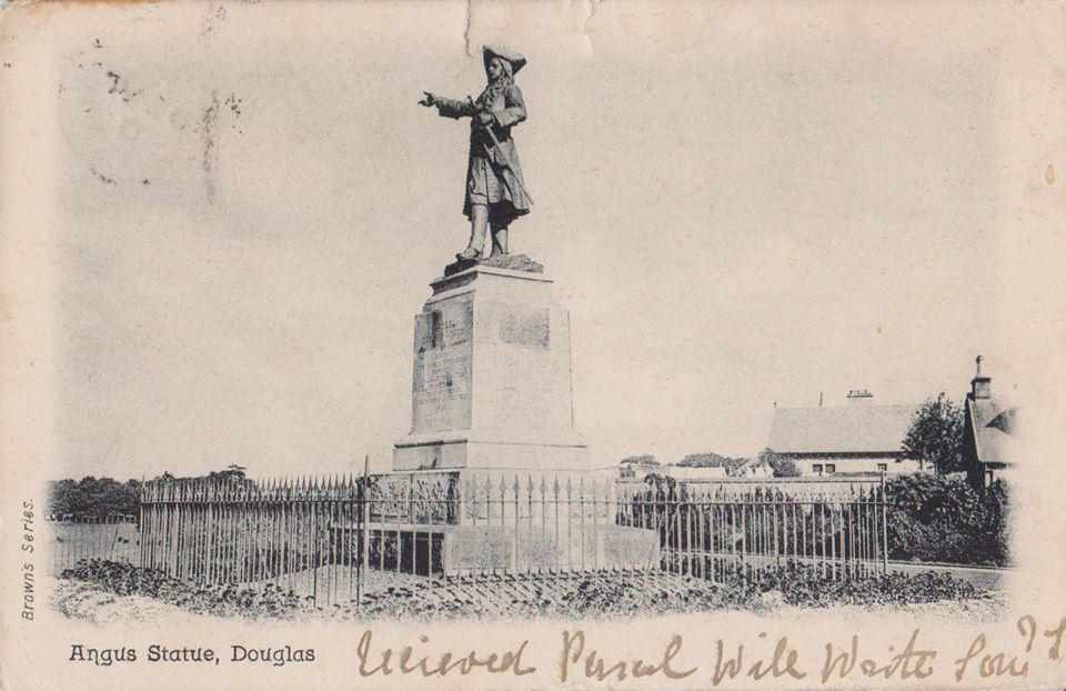
A Brown’s Series postcard showing the memorial to James Earl of Angus, who began the raising of the Cameronian regiment in Douglas on May 14th 1689. The organising of the…
Read MoreGlespin Bridge Swept Away
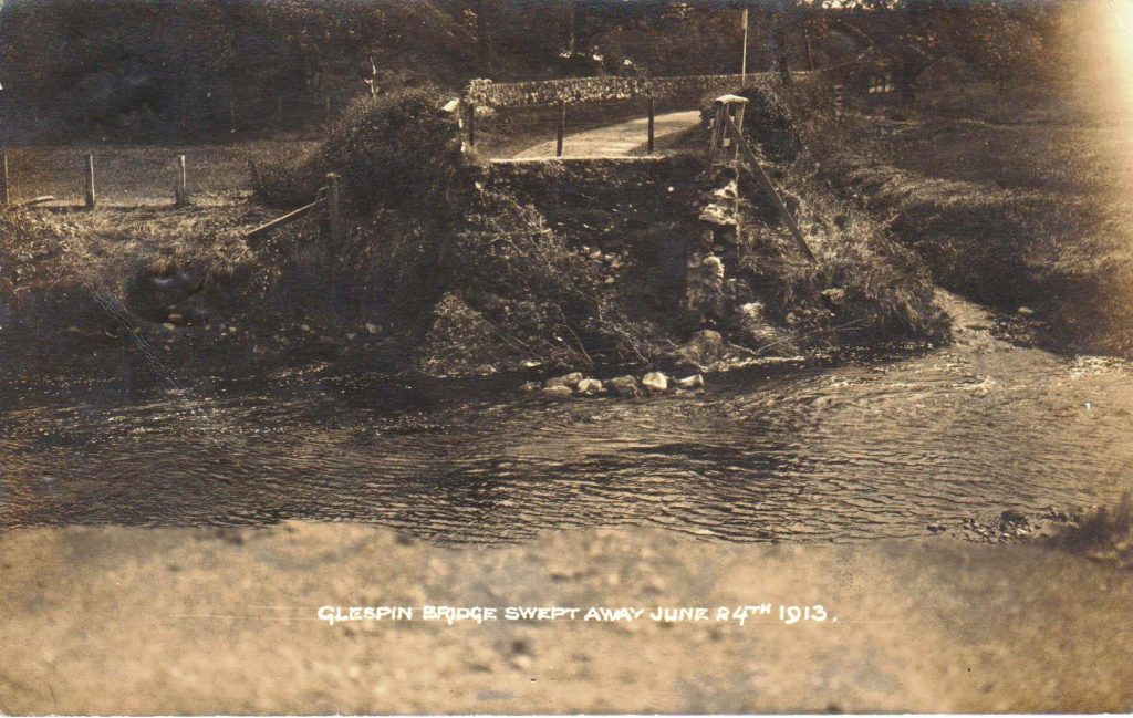
Postcard picturing Glespin Bridge, which was swept away in 1913.
Read More