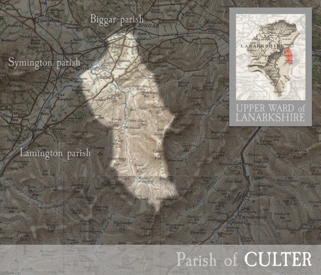
Parish of Culter
including the village of Culter (or Coulter).
CULTER, village in upper ward of Lanarkshire, and parish partly also in Peebleshire. The village stands on rivulet of its own name, about 2½ miles south-west of Biggar, and has a post office under Biggar, a railway station, Established and Free churches, and a public school with about 72 scholars. The parish is about 7 miles long, and 4 miles broad, and comprises 10,175 acres in Lanarkshire, and 1708 in Peeblesshire. Real property in 1880-81, £6763 and £2142. Pop. 428 and 146. The northern section is bounded by the Clyde, and is either level or undulating ; and the Culterallers, southern section rises abruptly into verdant hills, and ascends rapidly into lofty mountains. The rivulet Culter rises in the extreme south, runs along the centre, makes several fine cataracts and cascades, and glides into the Clyde. The seats are Cultermains, Birthwood, Cornhill, and Hartree ; and the chief antiquities are two moats and the site of a Knight Templars’ house. The Gazetteer of Scotland, by Rev John Wilson, 1882
Unless otherwise stated, all text, images, and other media content are protected under copyright. If you wish to share any content featured on Clydesdale's Heritage, please get in touch to request permission.


