

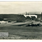
Forest Map showing Bonnington
Year: 1819
A Forest Map of Lanarkshire from 1819. The Forest Map series showed considerable detail, including of the Bonnington Estate. At this time, walks and paths were created by Lady Mary Ross Lockhart.
Map courtesy of the National Library of Scotland.
Unless otherwise stated, all text, images, and other media content are protected under copyright. If you wish to share any content featured on Clydesdale's Heritage, please get in touch to request permission.

Area
Tags
Subscribe
Login
0 Comments
Oldest