Welcome to Clydesdale's Heritage, a project aimed at encouraging all people to take an active interest in the heritage and history of the Clydesdale area.
This website is one of several initiatives from Lanark and District Archaeology Society (LADAS) to encourage engagement with the history of the region.
The project includes lecture programmes, fieldwalks, cataloguing artefacts, inspiring school pupils during talks and presentations, and working with like-minded organisations – with the end goal being to record and preserve the heritage of Clydesdale.
Most popular this month
The Railway Station, Leadhills
postcardTinted postcard, Valentines Series 46312. Postally unused. CR25.0001
The Mystery of the Inscribed Window Sills.
articleThe Climpy road, from Forth to Shotts, passes through a landscape shaped by 250 years of industrial history. A small ruined stone building in a field to the north of…
The Lanark Natural History and Archaeological Society
articleIn late 1915, winter added to the misery of life on the western front, while retreat from Gallipoli brought an ignominious end to a bloody campaign. Back home, patriotic fervour…
Lanark’s Lake Pavilion – The Most Popular Picnic Resort in Scotland.
articleThe Lanark district and the beauties of the Clyde Valley have always attracted tourists, and with the coming of the railways many more day-trippers enjoyed the rocky splendour of the…
The Platelayers’ Well in Happendon Wood
articlePeter Carmichael (1807-1897) was stationmaster at Douglas for nearly twenty years, having previously been in charge of various other stations, including Carluke and Garnkirk. Although Douglas was not the busiest…
Windrow Woods, the Fog House, and the Woman’s Grave
articleA fug-hoose was a place for quiet wonder and contemplation, Seated amongst the ferns, moss and heather, those with time for leisure might enjoy fine vistas or other beauties of…
Rigside Cannel and the Black Douglas Pit
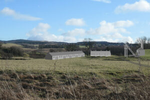
articleCannel is an unusual form of coal that burns with a brilliant flame if thrown into an open fire; lighting up a room as if by candlelight. Cannel was in…
The Lost Gardens of Glengonnar
articleIn about 1900, work began on construction of an extravagant new country house nestled in the wooded valley of the Glengonnar Water, a little to the south of Abington. The…
Bringing Light to Glengonnar House.
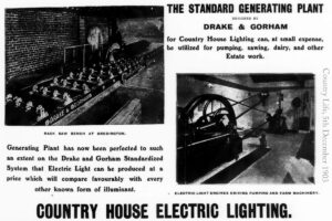
article“While electric light has for some years been without rival in respect to its cleanliness, convenience and safety from fire risk, it has suffered from one important drawback which has…
The Invariably Brilliant Lady Colebrooke and the Mystery of Glengonnar House.
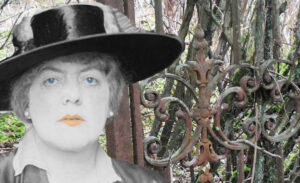
articleClimb over the field gate, venture through the long and rather intimidating concrete tunnel beneath the M74, and you emerge into the lovely wooden glen of the Glengonnar burn. Few…
Old Glengonnar Bridge
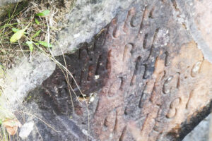
articleMaster mason John Telfer will have been proud of his work as he carved his name into the stonework of Glengonnar bridge, This pride in his solid workmanship was well-placed…


