An Early Industry and a Beautiful Bing.
The road from Forth to Climpy winds its way across a windswept moorland landscape that bears the scars of a long history of mining. Coal was first worked in Climpy late in the 18th century to supply the mighty Wilsontown ironworks, and continued to be mined in the area into the 1990’s.
Just before leaving Climpy and heading towards Shotts, there is a kink in the road. On one side is a cottage – once the lodge for Climpy House – on the other a wooded mound that provides a rare patch of shelter. The mound is a further relic of industry. Clambering through the trees reveals a series of mounds and hollows, while further to the east a deep gash in the ground follows a snaking course where limestone once outcropped at surface. The full interest and wonder of this place can only really be appreciated when viewed from above using Lidar technology. An elegant pattern of radiating banks and promontories is then revealed, looking rather like the fingers of a hand or a bunch of berries.

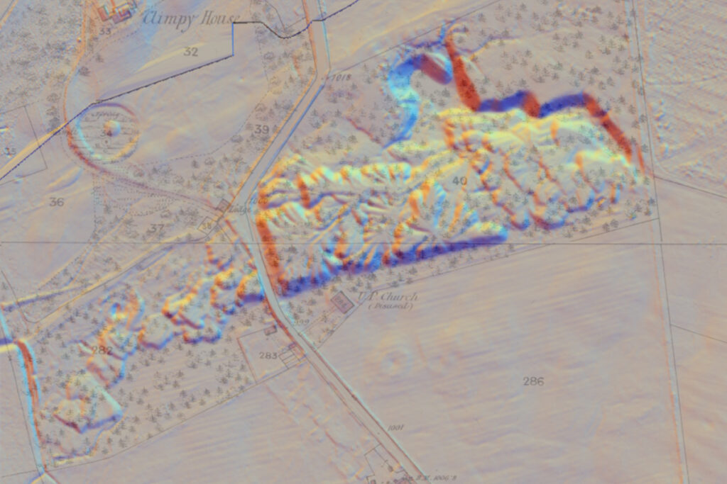
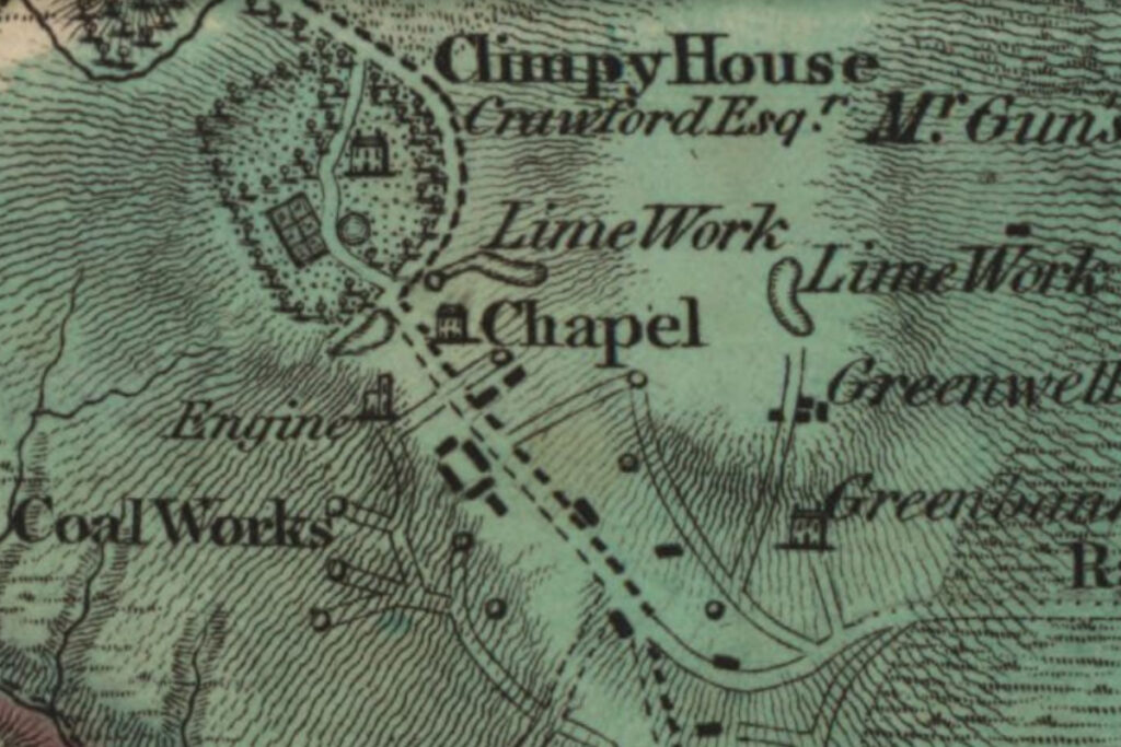
LIDAR view of tip, LIDAR view overlain on 25″ OS map, c.1860, and Forrest’s Map of Lanarkshire, 1816. All courtesy of National Library of Scotland
It seems likely that increasing amounts of overburden had to be moved to reach the seam of limestone as it dipped into the ground. Hutches of this rubble and blaes may have been hauled from the deepening pit by pony, and then pushed by hand along a level route to the tip point. The tip point would be moved occasionally by shifting the rails from a fixed central point to create the finger-like arrangement. Once all available land had been filled, it seems that some form of bridge was built to allow tipping to continue on the west side of the road. The tip provides a record of the quarryman’s work that has remarkably survived little-changed for over 200 years.


Panoramic views, showing the presumed site of a bridge across the Climpy road, and looking west across the main tip.
George Crawford, an Edinburgh merchant, had ambitious plans to develop his Climpy estate. In 1802 he leased the limestone beneath his lands to the newly-formed Shotts Iron Company, and arranged to work it on their behalf. He built draw-kilns to produce lime for agricultural purposes, while crushed limestone was carted the five miles to feed the furnaces of Shotts iron works. Detailed plans for a rail-road to link Climpy with the works were commissioned in 1812, but it was never built. A range of houses were constructed to accommodate the substantial workforce of the lime-,works, along with a school house and a chapel (a Relief Meeting House). The coal reserves of the estate were leased by the Wilsontown Iron Co. in 1804, who soon built further housing for 140 families, sunk pits equipped with steam engines and horse gins, and constructed tramways linking pits with the ironworks.
For a while, the Climpy estate was a busy hive of industry supporting a large population. One of the assets of the estate was stated as “the abundant supply of dung from the populous village of the estate,….very valuable in an agricultural point of view”. However the early optimism soon dissolved in the economic turmoil brought about by the Napoleonic wars. In 1811, George Crawford was declared bankrupt, and in the following year production was also halted at Wilsontown iron works. Hundreds lost their livelihood, some their savings, and much of the parish was “reduced to a state of beggary”. Houses fell vacant and derelict, and works were left to rust.

Climpy estate and its lime works were put up for sale in 1811 but no acceptable offers were received. They were readvertised on several occasions until 1818. When a new owner was finally found for the estate, they had no interest in resuming operation of the lime works. Worker’s houses were allowed to fall into ruin, and – other than the disused chapel – little trace of the village remained by the 1850’s, when the first OS maps were published.
It took many years to sort out George Crawford’s business affairs, and later legal documents gave his address as “currently in North America.”
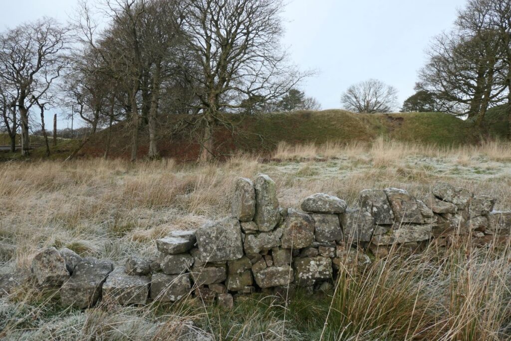
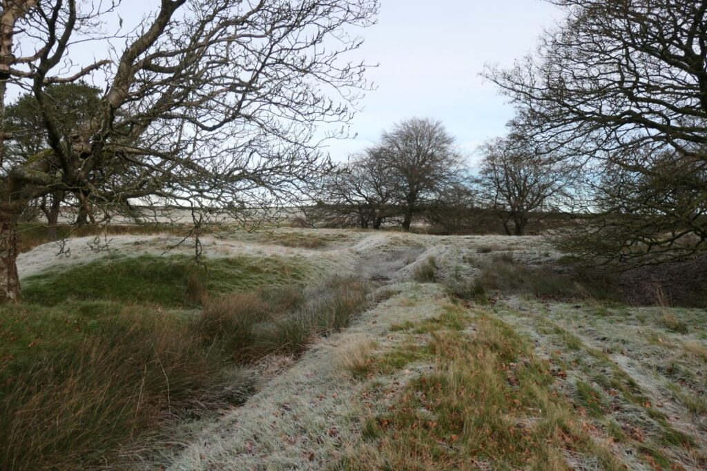
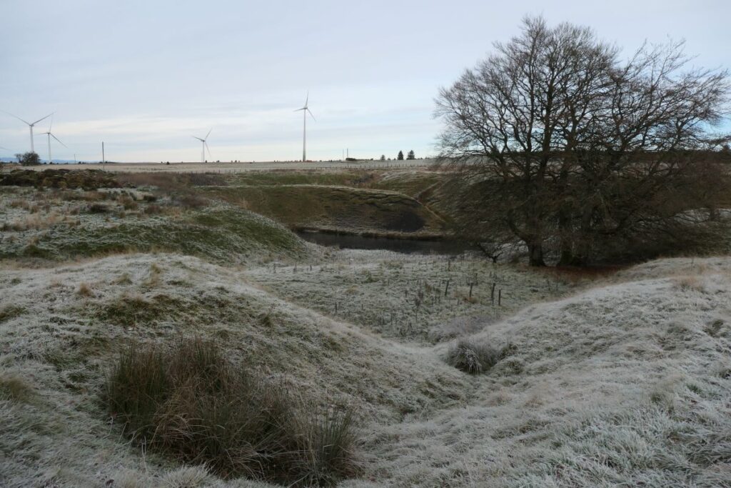
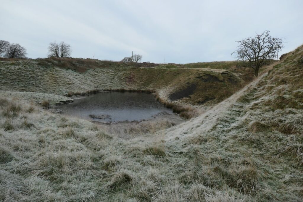
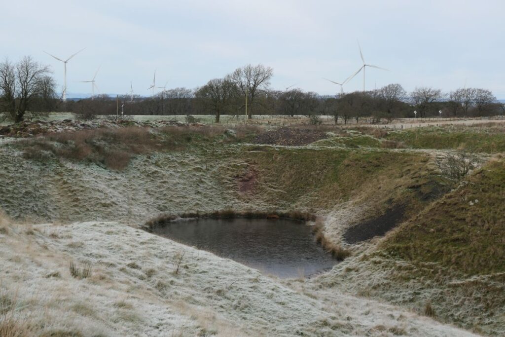
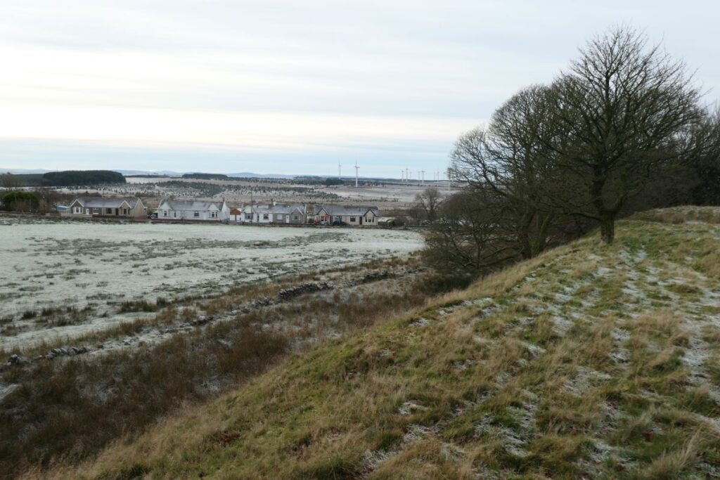
Site of chapel (beyond the stone wall), views of the tramway embankments and tip points, quarry workings, (partially flooded), and view from tip towards 20th century colliery houses beside the Climpy road.
Robin Chesters 03/12/2024
Unless otherwise stated, all text, images, and other media content are protected under copyright. If you wish to share any content featured on Clydesdale's Heritage, please get in touch to request permission.

