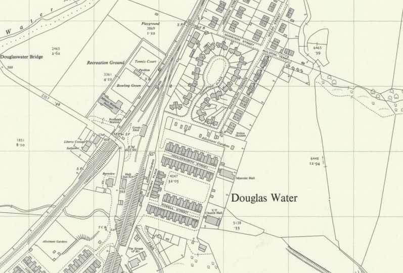
Ordnance Survey map of Ponfeigh Station
Year: 1950
An Ordnance Survey map from c. 1950 showing the location of Ponfeigh Station relative to the Douglas Water community. Ponfeigh Railway Station operated between 1864 and 1964 on the Douglas Branch. The station was part of the Caledonian Railway and was known locally as Rigside.
Unless otherwise stated, all text, images, and other media content are protected under copyright. If you wish to share any content featured on Clydesdale's Heritage, please get in touch to request permission.
Area
Tags
Subscribe
Login
0 Comments
Oldest


