Year: 1822
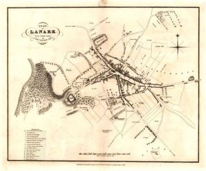
Wood Town Atlas
mapThis map is from the Wood Town Atlas of 1822. At this point, Lanark had not changed much since the Middle Ages. The Castle is at the bottom of the…
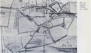
Estate Map of Douglas
mapAn interesting estate map of Douglas from 1822, showing how the village once was.
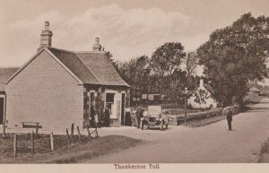
Thankerton Toll
postcardThis is a picture of the Thankerton Toll. In the days before the railways, money was raised for road maintenance through levying tolls. This toll house is typical of its…
Plan of Douglas Village
mapThis is an interesting estate map of Douglas dating to 1822 showing the village as it used to be. It might be useful to compare this to the present day…


