
Year: 1773
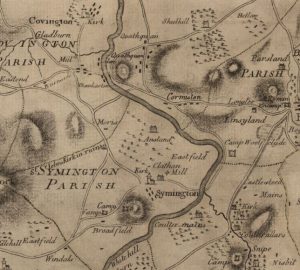
Ross Map of Quothquan
mapThe Ross Map of Quothquan from 1773. The map shows clearly the settlement of Quothquan stretching alongside a road from Roadhead Farm. The church is not marked on this map;…
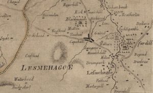
Ross Map of Lesmahagow
mapThe Ross Map of Lesmahagow from 1773. The detail in the map does not quite match that of Roys’ map, but it does show some of the dwellings and farms…
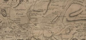
Ross Map of Carnwath
mapA Ross Map of Carnwath dating from 1773. The map includes great detail of Carnwath, including street layouts. It is interesting to note that ‘Cowdayly’ is included in this map.…