Year: 1859
First Edition Ordnance Survey map of Leadhills
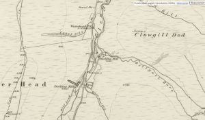
mapThis is the first Ordnance Survey map of Leadhills from 1859. The OS maps were a game-changer in the field of cartography. From this map, we see that many of…
More results...

This is the first Ordnance Survey map of Leadhills from 1859. The OS maps were a game-changer in the field of cartography. From this map, we see that many of…