
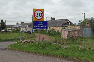
Tag: Auchengray
Making and Mending at Auchengray.
articleIn a recent post we shared an image of local lads posing proudly with their stock-car outside the “garage” at Auchengray. Although the snap was taken not so long ago,…
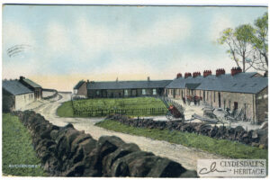
Auchengray
postcardColoured printed postcard. Albany series, published by W. Inglis, Post Office, Auchengray, postmarked 20th July 1907. CR25.0016
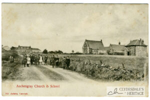
Auchengray Church & School
postcardPrinted postcard, published by Jackson, Carnwath, not postally used. CH25.0015

Auchengray Parish Church & School
postcardColoured postcard. Albany series, by W. Inglis, post office, Auchengray, posted 1913. CH25.0008
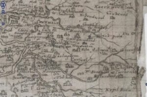
Auchengray and Tarbrax
mapThe maps relate to Tarbrax and Auchengray and cover the period from 1596 when Timothy Pont’s Map was completed till Thomson’s map of Lanarkshire in 1832. The maps used in…
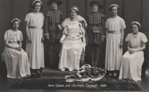
Carnwath & District Old Photos
documentA PowerPoint presentation showing photos from across Carnwath and District across the years. You can download a copy of this presentation in the original format or in a PDF format…