

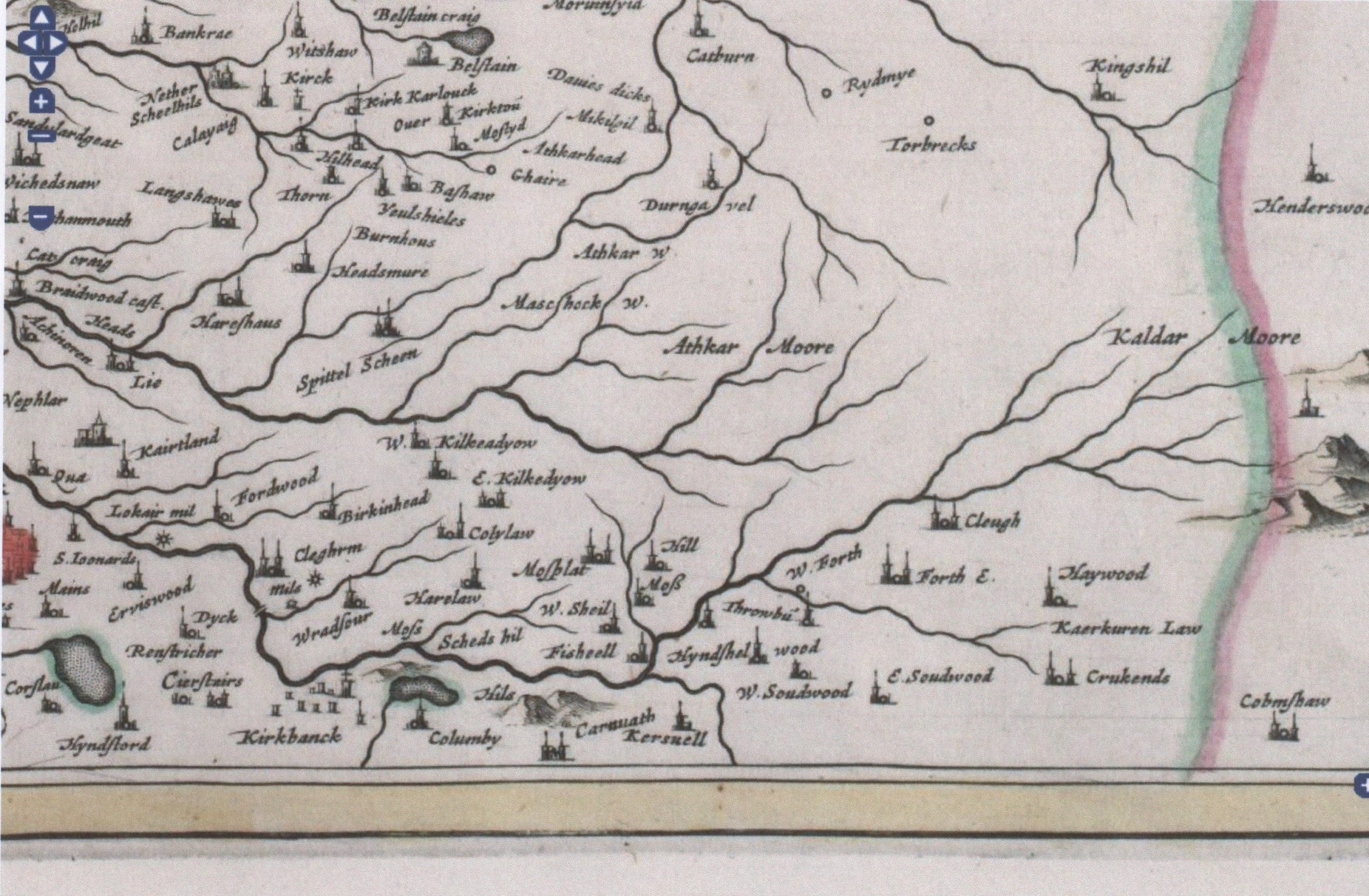
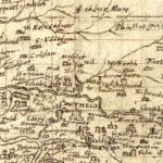
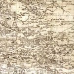
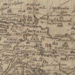
Auchengray and Tarbrax
Year: 1596
The maps relate to Tarbrax and Auchengray and cover the period from 1596 when Timothy Pont’s Map was completed till Thomson’s map of Lanarkshire in 1832. The maps used in this article have been reproduced courtesy of the National Library of Scotland.
Unless otherwise stated, all text, images, and other media content are protected under copyright. If you wish to share any content featured on Clydesdale's Heritage, please get in touch to request permission.
Related Content
Area
Tags
Subscribe
Login
0 Comments
Oldest