
Tag: Forest map
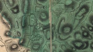
Forrest map of Leadhills
mapThe Forrest map of Leadhills from 1819. This map includes various details, including reference to the Hopetouns. The Hopetouns had owned the land around Leadhills since the early part of…
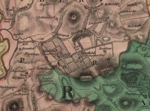
Forest Map of Shieldhill
mapThe Forest Map of 1816 showing Shieldhill contains considerably more detail than William Roy’s map of 1752. The map indicates the growing importance of neighbouring Huntfield. The Chancellors had continued…
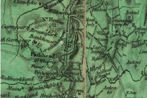
Forest map
mapA Lesmahagow map from 1819. It is better for detail and is more precise than the Ross Map. It shows too the owners of the principle houses, which is very…