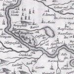
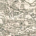
Blaeu Map
Year: 1650
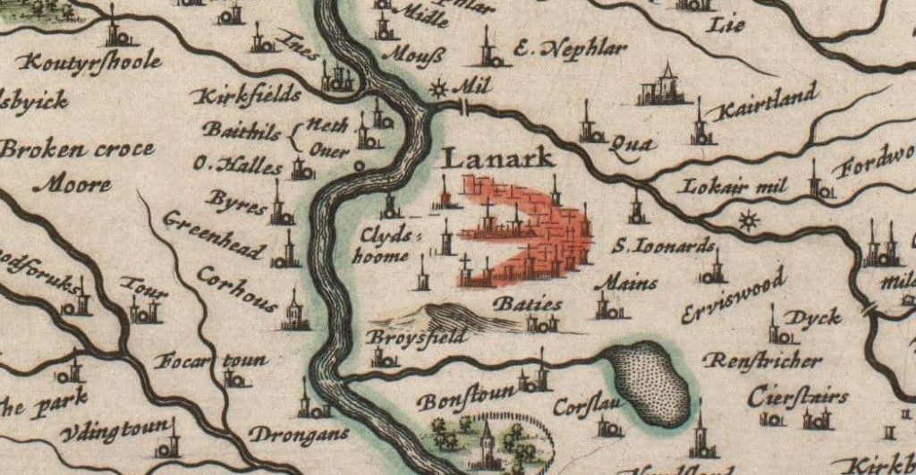
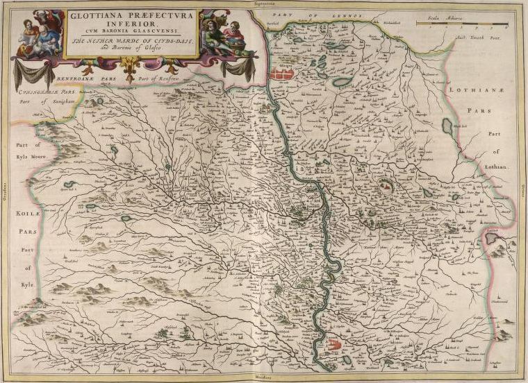
Blaeu was a Dutch map maker based in Amsterdam. He issued several maps of Lanarkshire in 1654 as part of his world atlas. This was popular throughout the known world and was even translated into Arabic.
Blaeu’s maps are largely based on the notes taken by Timothy Pont for the creation of his map of Lanarkshire in 1596. Blaeu’s map is much clearer than Pont’s and is much easier to read for the general public.
Unless otherwise stated, all text, images, and other media content are protected under copyright. If you wish to share any content featured on Clydesdale's Heritage, please get in touch to request permission.
Area
Tags
Subscribe
Login
0 Comments
Oldest

