
Year: 1750
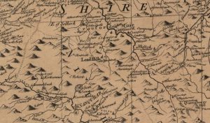
John Doret map
mapThe John Doret map of Leadhills from 1750. The map shows the names of some of the small settlements not mentioned in Joan Blaeu’s map. Map courtesy of the National…
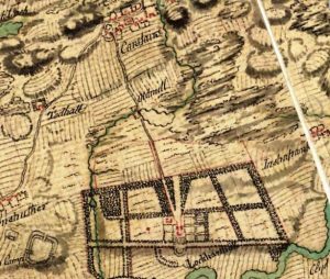
William Roy map of Carstairs
mapThe William Roy map shows the village of Carstairs with properties marked out. Of much interest is Carstairs House, which was – at this point – still occupied by the…
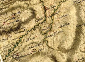
General Roy Map
mapThis map, completed in the 1750s by General Roy was part of a series completed across Scotland. Wilsontown does not exist at this time. The hamlets of East Forth, West…