
Year: 1864
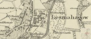
First Ordnance Survey map of Lesmahagow
mapThe first Ordnance Survey 6″ to 1 mile map of the Lesmahagow area shows a major change in map making. By 1864, the detail included in the maps is considerable.…
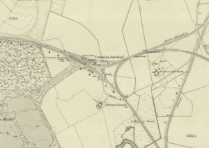
Lampits Ferry
mapThis map of c.1864 shows the position of the Lampits Ferry and how Smiths Bakers van would get to Pettinain. The map also shows the Village of Pettinain, which was…
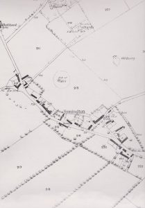
Ordinance Map of Symington
mapThe first edition of the 1864 Ordinance Map of Symington, showing a site simply called ‘The Place’. This was likely a medieval castle or fortification, though limited information is known…