
Tag: Pont
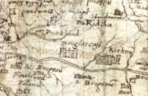
Pont Map, Douglas Castle
mapThis picture from Pont shows how Douglas Castle may have looked in 1596 when the map for Lanarkshire was created. The late Professor McClean from Dundee thought that Pont Map…
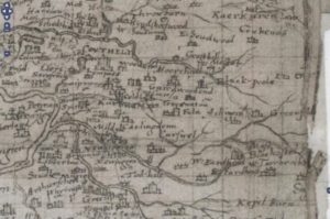
Auchengray and Tarbrax
mapThe maps relate to Tarbrax and Auchengray and cover the period from 1596 when Timothy Pont’s Map was completed till Thomson’s map of Lanarkshire in 1832. The maps used in…