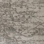
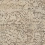
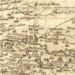
Pont Map, Douglas Castle
Year: 1596
This picture from Pont shows how Douglas Castle may have looked in 1596 when the map for Lanarkshire was created. The late Professor McClean from Dundee thought that Pont Map had an element of accuracy about them.
What is to be seen is a couple of towers with wall between them with gateway. The larger of the towers possibly had a Renaissance style Cupola.
The other Castle is Parkhead which also belonged to the Douglas family. There was a castle here at Parkhead from the 14th century if not before.
Pont Map courtesy of National Library of Scotland.
Unless otherwise stated, all text, images, and other media content are protected under copyright. If you wish to share any content featured on Clydesdale's Heritage, please get in touch to request permission.