Tag: Blaeu
Blaeu map of Lesmahagow
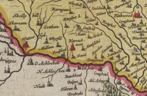
mapThis Blaeu Map of 1654 shows the area around Lesmahagow. Curiously Lesmahagow does not get a mention though Craighead does. An excavation of the 15th century Tower House was completed…
Auchengray and Tarbrax
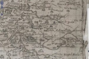
mapThe maps relate to Tarbrax and Auchengray and cover the period from 1596 when Timothy Pont’s Map was completed till Thomson’s map of Lanarkshire in 1832. The maps used in…


