Carnwath
Carnwath has an interesting history going back to the Medieval period when the motte was built by the Sommerville family who came to the area in the twelfth century. This still exists today as a feature in Carnwath Golf course. Field-walking and metal detecting in the area around the Motte have resulted in the recovery of both pottery and coins from the 12th and 13th centuries; the coins being silver pennies of Edward I.
The Sommerville family were also responsible for building a church across the road from the Motte; much of the original Medieval church has disappeared. What is left is the St Mary’s Ailse, which was constructed in 1424. The style of the ailse is similar to the church of Corstophine on the outskirts of Edinburgh and is typical of the Perpendicular style of architecture which was common in England at that time. In the the Ailse there are several monuments to members of the Sommerville family, the Dalzells, and the Lockharts. In the churchyard there many interesting gravestones including one of a knight and a memorial to some of the martyrs of the Covenanting era.
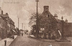
Carnwath had a Medieval tolbooth till the 1930s when it was demolished. This building went back to the early part of the sixteenth century at a time when the famous Red Hose Race started. It began in 1508 and is reputed to be the oldest foot race in Scotland. The tradition was that the local laird had to give a pair of stockings (hose) as a prize or forfeit his lands.
Although Carnwath lost its tolbooth, the records of the barony court of the Burgh of Carnwath survive and were published by the Scottish Record Society; these cover the period of the 1530s–1540s and give a fascinating insight into the story of the farming community in Carnwath and its surroundings
Narrow by year:
Narrow by tags:
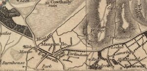
Thomson Map of Carnwath
mapA detailed Thomson Map of Carnwath dating from 1832. Couthally is featured here, though with a slight mis-spelling. Details include the Mansion House (Carnwath House), plus the Kirk and the…
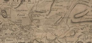
Ross Map of Carnwath
mapA Ross Map of Carnwath dating from 1773. The map includes great detail of Carnwath, including street layouts. It is interesting to note that ‘Cowdayly’ is included in this map.…
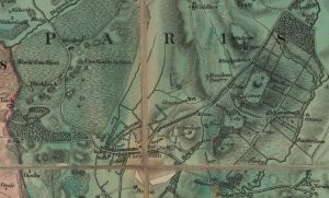
Forest Map of Carnwath
mapA Forest map of Carnwath dating from 1819. The map is detailed, showing the Kirk, manse, mansion house, and Green Inn. It also has the tolls prominently displayed. The money…
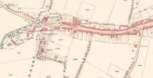
19th century Carnwath map
mapThis was the second map of 1858, showing the whole village of Carnwath. The map indicates three churches in close proximity to each other, including St Mary’s Aisle.
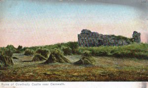
Ruins of Cowthally Castle
postcardAn early 20th century postcard showing the ruins of Cowthally Castle (also known as Couthally Castle), near Carnwath. Very little shown in the picture survives today. It is thought that…
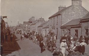
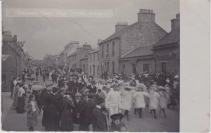
Carnwath Gala Parade
postcardThis is a picture of the Carnwath Gala Parade of 1905. This Gala included decorated bikes. In the early 20th century there was a fashion for such parades. For example,…
The Old Jail, Carnwath
postcardA postcard with the title, ‘The Old Jail, Carnwath’. It features a great view of the Cross at Carnwath with the Tolbooth. The Tolbooth which dated back to the early…
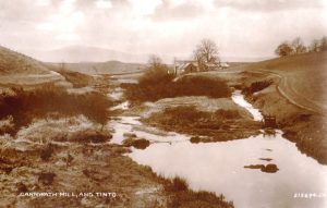
Carnwath Mill and Tinto
postcardThis is a distant view of Carnwath Mill. Of interest is the song called ‘Carnwath Mill’. The first line of this popular folk song is, ‘We’re No Awa Tae Bide…
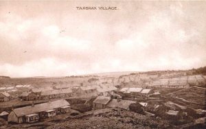
Tarbrax Shale Mining
postcardThis is a view of the shale mining community of Tarbrax. The view was probably taken in the 1920s. At this stage, shale mining was becoming less profitable as the…

