Maps
Narrow by year:
Narrow by location:
Narrow by tag:
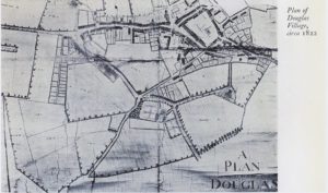
Plan of Douglas Village
mapThis is an interesting estate map of Douglas dating to 1822 showing the village as it used to be. It might be useful to compare this to the present day…
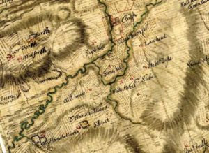
General Roy Map
mapThis map, completed in the 1750s by General Roy was part of a series completed across Scotland. Wilsontown does not exist at this time. The hamlets of East Forth, West…
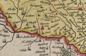
Blaeu map of Lesmahagow
mapThis Blaeu Map of 1654 shows the area around Lesmahagow. Curiously Lesmahagow does not get a mention though Craighead does. An excavation of the 15th century Tower House was completed…
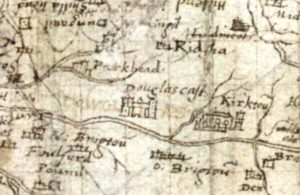
Pont Map, Douglas Castle
mapThis picture from Pont shows how Douglas Castle may have looked in 1596 when the map for Lanarkshire was created. The late Professor McClean from Dundee thought that Pont Map…

Carnwath 1858 OS Map
mapThis is a very useful map as it shows the position of the Lockhart Arms Inn, now a farm. The tavern was one of the most important in the area.…
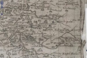
Auchengray and Tarbrax
mapThe maps relate to Tarbrax and Auchengray and cover the period from 1596 when Timothy Pont’s Map was completed till Thomson’s map of Lanarkshire in 1832. The maps used in…