![]()
Welcome to Clydesdale's Heritage, a project aimed at encouraging all people to take an active interest in the heritage and history of the Clydesdale area.
This website is one of several initiatives from Lanark and District Archaeology Society (LADAS) to encourage engagement with the history of the region.
The project includes lecture programmes, fieldwalks, cataloguing artefacts, inspiring school pupils during talks and presentations, and working with like-minded organisations – with the end goal being to record and preserve the heritage of Clydesdale.
Most popular this month
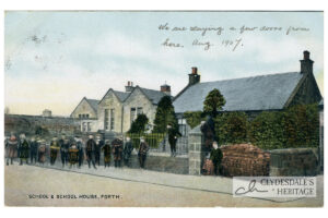
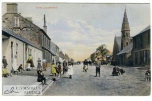
School and School House, Forth.
postcardColoured printed postcard, Albany series 4017, postmarked 1907. CH250039
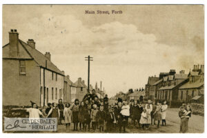
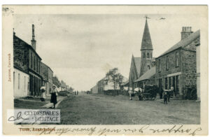
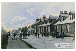
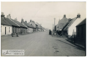
Forth, Lanarkshire
postcardPrinted postcard, published by J.T. Smith, Forth, postmarked 1913. CR250037
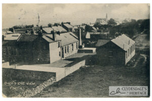
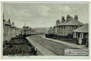
Bird’s eye view, Forth.
postcardPrinted postcard, published by J.T. Smith, cycle agent, Forth. Postmarked 1913. CH25.0035
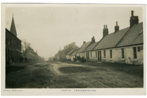
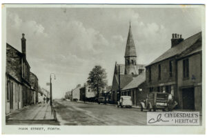
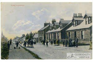
Forth, Lanarkshire
postcardColoured printed postcard, published by J.T. Smith, Forth, postmarked 1906. CR250034