
Maps
Narrow by year:
Narrow by location:
Narrow by tag:
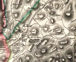
Thomson Map of Leadhills
mapThis is a valuable map of Leadhills from 1832. The map shows the horse gin (marked as ‘gin’ on the map) near the village. This apparatus was used to raise…
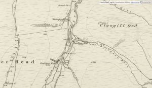
First Edition Ordnance Survey map of Leadhills
mapThis is the first Ordnance Survey map of Leadhills from 1859. The OS maps were a game-changer in the field of cartography. From this map, we see that many of…
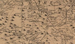
Arrowsmith map of Leadhills
mapThe Aaron Arrowsmith Map of 1807 is a useful map. It was undertaken at a time when there was a significant demand for lead. In 1807 Britain was engaged in…
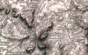
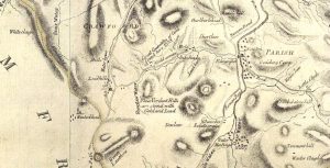
Forrest map of Leadhills
mapThe Forrest map of Leadhills from 1819. This map includes various details, including reference to the Hopetouns. The Hopetouns had owned the land around Leadhills since the early part of…
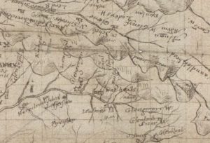
Pont Map of Leadhills area
mapIn 1596, when this map was produced, lead mining had not commenced in the area. As such, the map shows a number of small settlements such as Glendorch and Snar.…
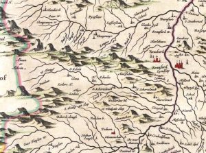
Blaeu map of Leadhills
mapBlaeu’s map of Leadhills from 1654. This map greatly improved accuracy from Timothy Pont’s map of the area. Blaeu was a Dutch cartographer born in Alkmaar. This map was produced…
John Doret map
mapThe John Doret map of Leadhills from 1750. The map shows the names of some of the small settlements not mentioned in Joan Blaeu’s map. Map courtesy of the National…
Ross Map of Leadhills
mapA fascinating map of Leadhills from 1776. The map references the “Great Quantities of Gold found here”, as well as areas rich in lead deposits.
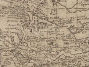
Pont’s Map of Lanark
mapPont’s Map of Lanark from 1596. This map gives an incredible look at the layout of Lanark during the time of James VI of Scotland. By 1596, Lanark had four…
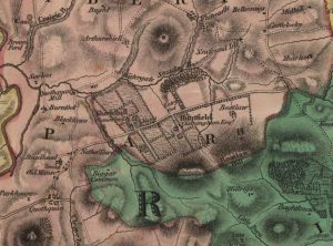
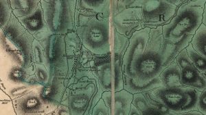
Forest Map of Shieldhill
mapThe Forest Map of 1816 showing Shieldhill contains considerably more detail than William Roy’s map of 1752. The map indicates the growing importance of neighbouring Huntfield. The Chancellors had continued…